

South Dakota is a state located in the Midwestern region of the United States. It is bordered by North Dakota to the north, Minnesota to the east, Iowa to the southeast, Nebraska to the south, and Wyoming and Montana to the west.
It is named after the Lakota and Dakota Sioux Native American tribes. Once a part of Dakota Territory, South Dakota became the 40th state on November 2, 1889. Pierre (pronounced "peer", rather than the French "pyair" by the inhabitants) is the state capital and Sioux Falls, with a population of nearly 160,000, is South Dakota's largest city.
The state is famously home to the Black Hills and Mount Rushmore.
South Dakota in Supervolcano[]
Both North and South Dakota were ravaged by the eruption of the Yellowstone Supervolcano. Years after the eruption, the U.S. government passed New Homestead Act, hoping to revitalize the Dakotas, among other states.[1]
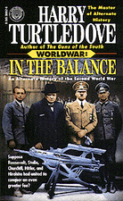
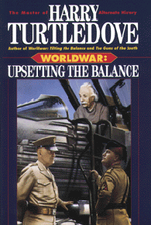
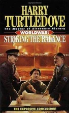
South Dakota in Worldwar[]
With the Race either occupying or attacking much of the territory along the Mississippi, both South Dakota and North Dakota became critical to the American war-effort.
South Dakota in The Two Georges[]
See Hanover (province), Mississippi (The Two Georges), Washington (province)
Literary Comment[]
The area of the OTL South Dakota is divided up among the NAU provinces as follows:[2]
- Hanover: Includes the southwestern part of the state, along with all of OTL Wyoming, eastern Montana, eastern Colorado, and Nebraska north of the Platte River.
- Mississippi: Includes the portion east of the Missouri River, along with all of OTL Iowa, Missouri north of the Missouri River, southern Minnesota west of the Mississippi River, and southeastern North Dakota.
- Washington: Includes the northwestern portion of the state, along with all of OTL Saskatchewan, northeastern Montana, and western North Dakota.
See also[]
- Dakota (State), for South Dakota in Southern Victory.
References[]
- ↑ Things Fall Apart, pg. 144, HC.
- ↑ Map The Two Georges, frontispiece.
| |||||||||||||||||
| |||||||||||||


| |||||||||||||||||||||||||


